-
Aerial House Photos by Bendigo Aerial
Sell your real estate property with unique views that can only be seen and appreciated from an aerial perspective.
Showreel Contact Us -
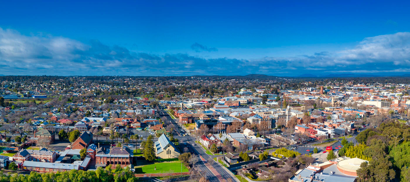
Real Estate Aerial Photography
Drone aerial house and property photography for residential estate agents and developers.
Showreel Contact Us -
Commercial High Resolution Photos
On demand, we can provide an aerial survey, mapping, 2D orthomosaic and volumetric measurement
Showreel Contact Us
Aerial House Photos
Discover the Power of Location with Aerial House Photos
They say, "Location, location, location!" —a timeless mantra in the world of real estate. We understand the significance of location when it comes to purchasing a home. That's why we specialise in providing stunning aerial house photos that showcase properties like never before.
Did you know that listings featuring aerial house photos sell a remarkable 68% faster compared to those without? By offering potential buyers a unique perspective from above, we go beyond what Google Maps can provide. We allow them to truly connect with the local area—envision walking their dog through the neighbourhood, commuting to work along familiar routes, and ensuring their children attend nearby schools.
When you visualise, you start to feel. And when you genuinely feel a connection, you're motivated to take action. At Aerial House Photos, we believe in the power of visualisation to inspire action, whether it's buying or selling a property.
Join us on this exciting journey as we unlock the hidden potential of location through captivating aerial imagery.
Drone Real Estate Aerial Photography
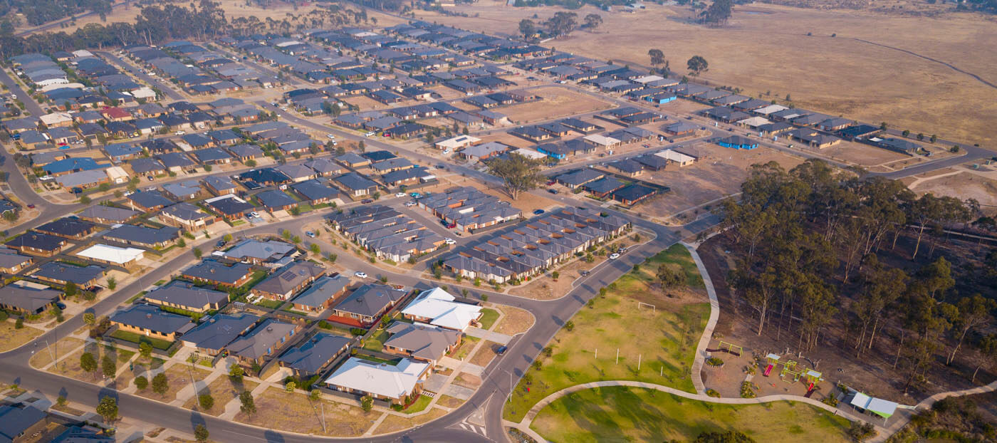
Residential Photos
Dramatically speed up the sale of your property, and increase the value the property is finally sold for, all with a simple set of professional aerial house photos.
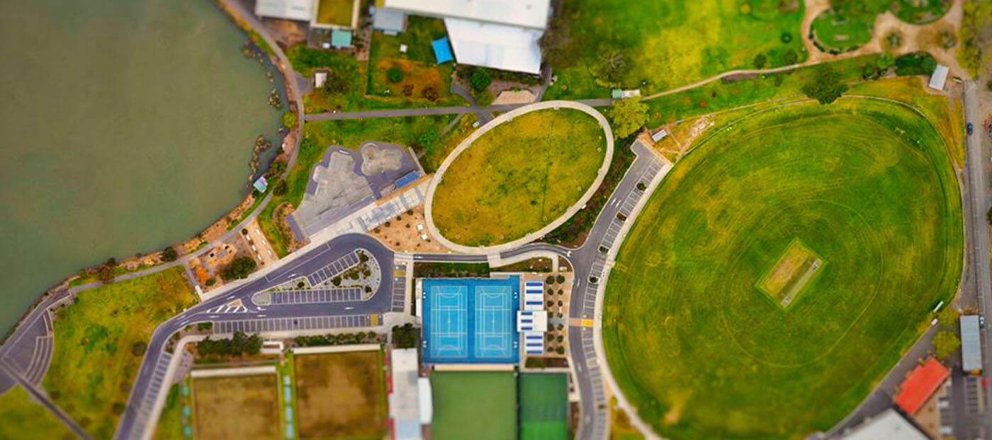
Commercial Photos
Showcase your commercial property, with a different perspective from the air. Highlight Points of interests. Get powerful imagery to power your business decisions.
Industry Photos
From solar panels, wind turbines, agriculture, farms and construction progress. We can photograph your assets from never before seen angles and heights.
Aerial House Photos - High Resolution Aerial Imagery
Evoking an emotional response is a fundamental principle of successful real estate sales.
Aerial Photography
We can provide professional aerial still photography, 360 and panoramas. We can add points of interests and boundary lines ready for print and social media.
Aerial Video
Showcase your stunning property with high definition 4K aerial video, professionally edited, stabilised and colour graded. Ready for TV, Facebook, YouTube and Instagram.
Mapping and Survey
Volumetrics, mapping and land survey our drones are ready to capture your quarries, real estate development plans, agriculture and adverse possession requirements.
Our Process for Stunning Aerial House Photos
Tell Us About Your Project
Contact us for your project. We will send a detailed all-inclusive quote with a competitive price including any permissions or permits.
Schedule the Drone Flight
Pending weather, we'll undertake a JSA and Risk Assessment and organise a scheduled flight with your permission.
Post Production Editing
We will professionally edit the aerial content to your requirements and provide the imagery via download usually within 48 hours.
Location Information: Castlemaine, Echuca and Moama, Shepparton, Central Victoria, Mildura and Mallee Region
Drone Solution That's Right For you - Contact Us
Get in touch with us if you need a quick quote, have questions that need answering, or simply want more information about our services. We operate 24/7 throughout Australia and can typically respond to you within the hour.
Send Mail:
BENDIGO AERIAL
PO Box 547
Golden Square, VIC, 3555
Australia
Powered by Bendigo Aerial, we operate under a Remote Operator's Certificate (REOC). As commercial drone operators, we are fully insured and conduct a thorough risk assessment and Job Safety Analysis (JSA) before all flights.